







Features & Benefits
- Expertly researched using authoritative sources like the U.N. and U.S. Board on Geographic Names.
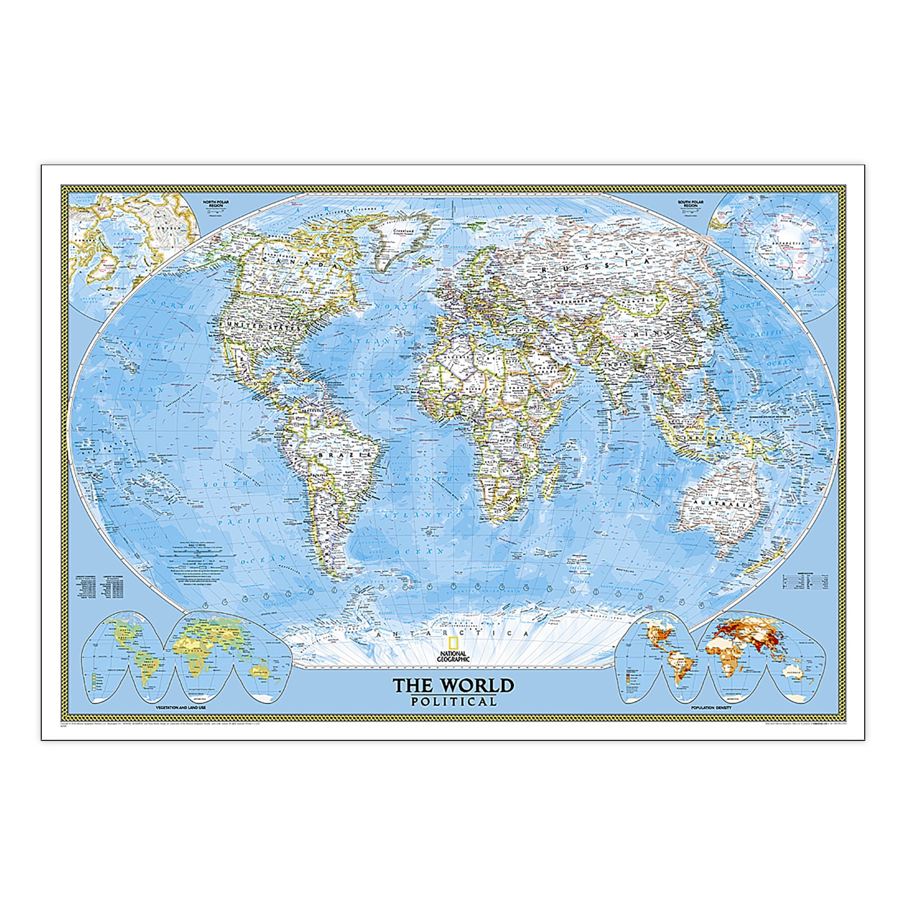
- Features a vibrant, easy-to-read color palette with distinct borders and labeled mountain ranges.
- Durable 1.6 mil laminate protects against humidity and allows for easy framing without glass.
- Includes accurate international boundaries, cities, and thousands of place names for legibility.
- Utilizes the Winkel Tripel projection to minimize distortions in geographical representation.
- Corner inset maps provide additional details on vegetation, land use, and population density.